You keep the target-parcel layer. Every parcel on it came from the county parcel file, joined to assessor records for owner, acreage, zoning and last sale. Before each acquisition committee you run the list again, and it looks the same as it did last quarter, because the records only move when a deed is recorded.
That is the gap. Someone who is assembling a site quietly does not need to be on record yet. Options and contracts go through an entity with no name you would recognize, and some land contracts are never recorded at all. By the time the sales show up at the recorder, the owners next door may have heard, and the asking price may already have moved.
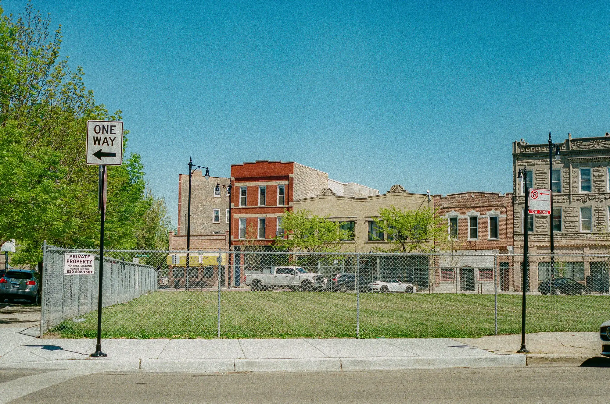
The ground moves sooner. A lot that sat rough for years gets cleared. The weeds stop coming back because someone is mowing. A fence goes up, or an edge gets tidied, and nothing is built. Your own eye would catch it on a drive-by, once, on the one day you happened to be there. The county aerial gives you one date and no way to tell whether the lot was always like that.
So the screening list stays a list of what is on record, and the parcels worth a phone call are somewhere else on the map.
This page is about reading that pattern across the whole watch area, every quarter, with a start date beside each flag.